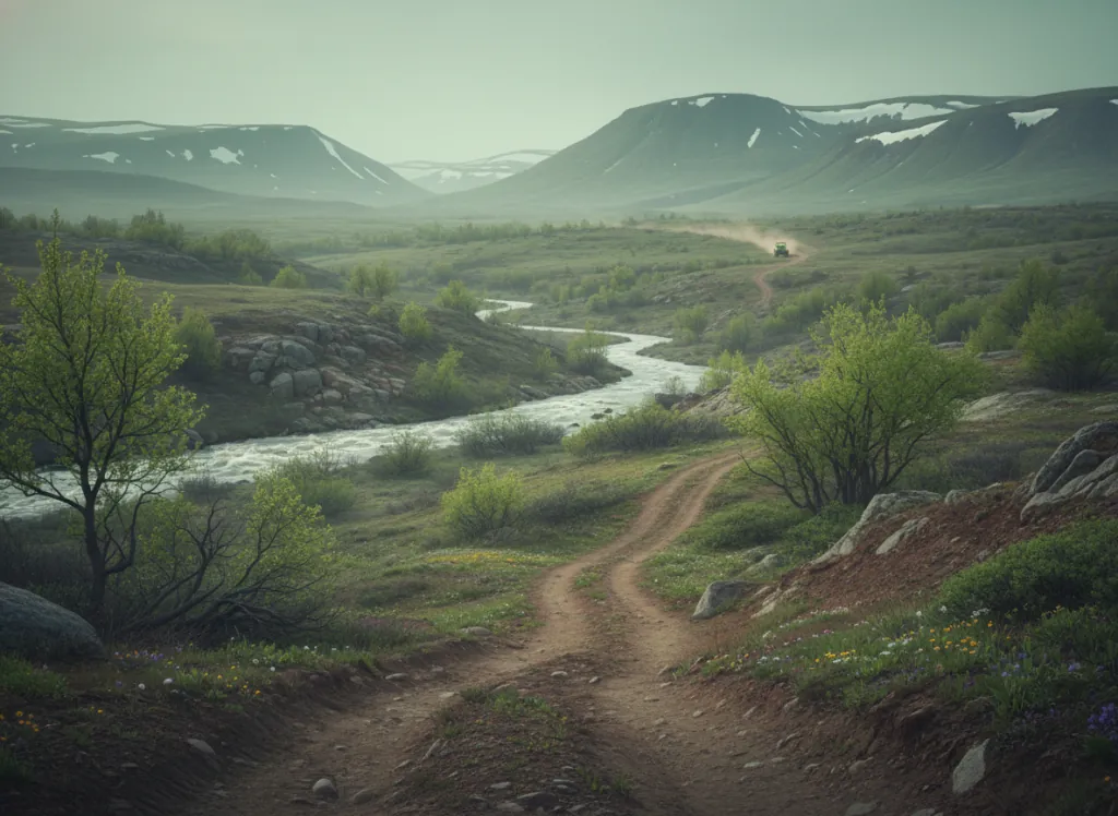
Fishlake National Forest covers 1.4 million acres of central Utah high country across Beaver, Millard, Piute, Sanpete, Sevier, and Wayne counties, the national forest that anchors the majority of the Paiute ATV Trail's mileage and contains additional OHV trail systems extending well beyond the Paiute network. The forest's OHV resources outside the Paiute corridor include the Great Western Trail corridor, the Fishlake High Plateau OHV network (the high-elevation riding above Fish Lake itself), and the Thousand Lake Mountain and Cathedral Valley area that provides OHV access to the terrain adjacent to Capitol Reef National Park. The terrain is quintessential Colorado Plateau transitioning into Basin and Range: red-rock desert at the lower elevations below 6,000 feet, pinyon-juniper woodland at mid-elevation, ponderosa pine and aspen at 7,500 to 9,500 feet, and the mixed-conifer and aspen forests above 9,500 feet on the plateaus and peaks that rise to over 11,500 feet (Delano Peak, Mt. Belknap, the Tushar Mountains). Fish Lake itself sits at 8,843 feet on the Fishlake Plateau and is surrounded by the Pando quaking aspen grove, the largest known living organism on Earth by mass, a 106-acre clonal colony that OHV trails pass through. ATVs, UTVs, and dirt bikes are permitted on designated motorized routes; Utah OHV registration is required. Dispersed camping is available throughout the forest under 14-night limits. Fishlake NF supervisor's office in Richfield (435-836-2800) coordinates district-level trail information across the Beaver, Fillmore, Fremont River, and Richfield ranger districts.
Hours
Accessible approximately May through October depending on elevation and snowpack; higher trails close under snow. No day-use fee. Utah OHV registration required.
Phone
435-836-2800Trip openings, seasonal updates, and the occasional deal, straight to your inbox.
FAQ
Everything you need to know before you get started.
Have a question, or ready to book? Reach out and we’ll get right back to you.